- Rating: EF-0
- Location: Parkersburg, WV
- County: Wood
- Start Location: 11:25 p.m. (39.2474, -81.5966)
- End Location: (39.2474, -81.5933)
- Estimated Peak Wind: 70 mph
- Path Length: 317 yards
- Path Width Maximum: 25 yards
- Fatalities: 0
- Injuries: 0
- Damage: $100,000
Details from NWS storm survey: The National Weather Service conducted a survey of damage that occurred along South Sixth Street in Parkersburg, West Virginia. A few buildings lost portions of their roofs while the roof was completely removed from an old cement block building. The roof was removed from an old cement block building and the walls collapsed. Other damage included several tree limbs being blown down with a few trees being blown down. A small camper was also destroyed.
Photos of Tornado Damage - National Weather Service Storm Survey
 |
| Collapsed walls of a building on 6th Street. |
 |
| Scattered roofing pieces along 6th Street. |
 |
| Roof damage to a small housing unit. |
 |
| Part of roof from a building on Helen Avenue and 6th Street. |
Radar Imagery
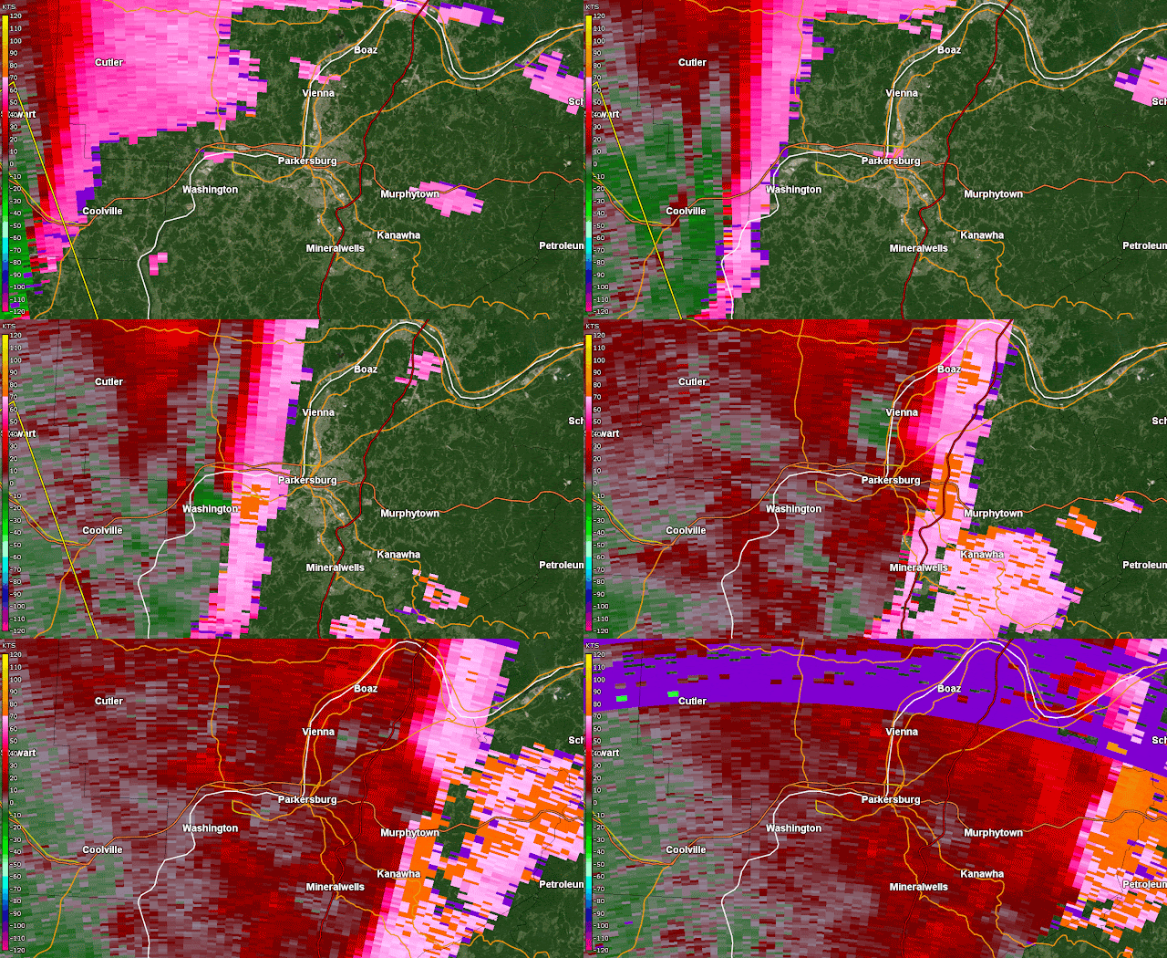
Panel of storm at time of tornado - click/tap on image for full resolution (Clockwise from top left: Base Reflectivity 0.5 degree, Base Velocity 0.5 degree, NROT 0.5 degree, Correlation Coefficient 0.5 degree)
Panel loop - click/tap on image for full resolution (Clockwise from top left: Base Reflectivity 0.5 degree, Base Velocity 0.5 degree, NROT 0.5 degree, Correlation Coefficient 0.5 degree):
A QLCS spawned a brief tornado in western Wood County between 11:20 p.m. and 11:25 p.m. The tornado itself is hard to analyze just using base reflectivity, but the rear inflow jet can be determined.
Base Velocity Analyzed
Correlation Coefficient Analyzed
Not much evidence shows up on the Correlation Coefficient product - I was hopeful in analyzing this that some dipped values would appear after the spawned tornado, but there's no real evidence of it, both during and after 11:25 p.m.
Normalized Rotation (NROT) Analyzed
NROT values peak at 2.0 to 2.1 (red) just east of Washington before weakening during the timeframe of the tornado spawning. Values around the time of the tornado dropped to 1.5 to 1.6. Broad rotations like what is shown are common in a QLCS - as is the difficulty with most of them, it is hard to both forecast and then find a spawned tornado in a QLCS, as the process by which they form and dissipate is usually very quick - within a minute or two in many cases.
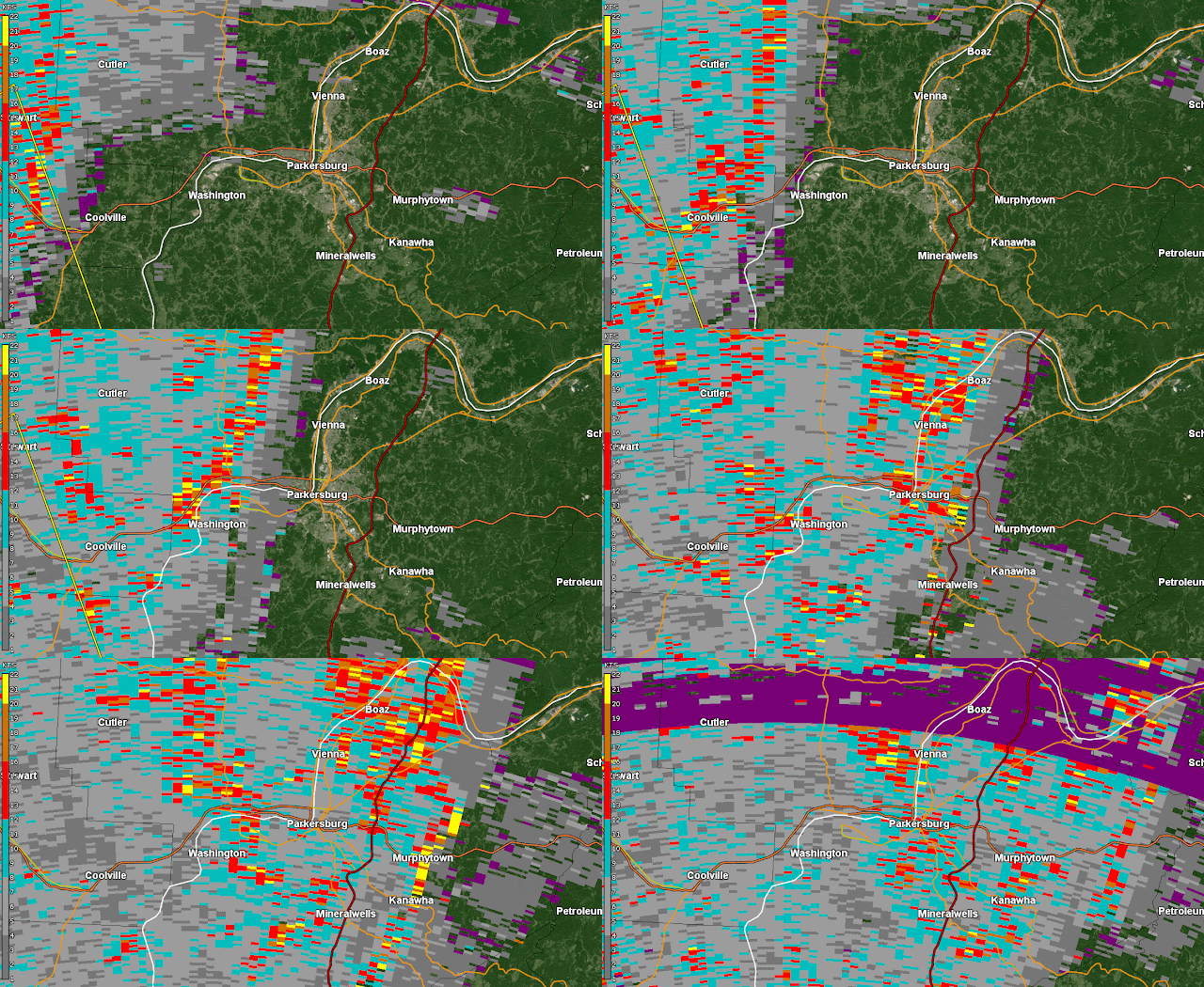
Spectrum Width
Again, Spectrum Width was not real helpful in making any tornado determinations. Noise along the front side of the QLCS indicates likely where the outflow winds picked up sticks and leaves, but otherwise, not much was to be analyzed from this product.


