- Rating: EF-1
- Location: Ranson, WV
- County: Jefferson
- Start Time: 6:27 p.m. (39.3108, -77.8655)
- End Time: 6:32 p.m. (39.3134, -77.8318)
- Estimated Peak Wind: 90 mph
- Path Length: 1.8 miles
- Path Width Maximum: 125 yards
- Fatalities: 0
- Injuries: 1
Details from NWS storm survey: A tornado touched down in Ranson, West Virginia in the community along Robelei Drive just west of West Virginia Route 115/Mildred Street. The southernmost homes in this community were affected with minor siding and shingle damage. One homeowner with a personal home anemometer measured an unofficial 68mph wind gust. The last two properties, those closest to 115, had the most substantial damage. One outdoor shed was blown from its foundation, and another shed was shifted from its foundation. The trailer section of a tractor trailer was pushed a few feet laterally, and then pushed over onto Route 115. The trailer was being used for storage. Leaf spatter was noted on the homes, and insulation and cardboard were lofted into the power lines along the road. The most substantial damage was from a west wind. However, one property had lawn furniture blown in the opposite direction. Several large tree limbs were snapped in differing directions. Two separate residents noted receiving the NWS Tornado Warning over their cell phones before the tornado hit, allowing time to seek safety in their homes. They also reported seeing the tornado moving into the next properties across WV-115. As the storm crossed WV-115, several large branches were snapped off trees in front of Two Crows Antique Mall. While many branches were thrown east, a large one was also thrown to the northwest. The tornado then struck a warehouse at Universal Forest Products and reached peak intensity. On this property. it pushed over a large warehouse building that was partially opened along its sides. The main beams of the building were large timbers secured to the ground with bolts. The roof was tin and sections of that roof were carried a half a mile into an adjacent community. People were in the building at the time, but fortunately the only injury was a minor leg abrasion to one person. Another smaller warehouse building was also destroyed. It also caused roof and siding damage to at least two other buildings on this property. The tornado weakened substantially as it traveled east from the warehouses. Debris, but not significant tree damage, was noted along Foal Street. Some intermittent damage continued into the new Fairfax Crossing community, where some minor siding and shingle damage was noted as well as a few small ornamental trees that were downed. Some final pieces of tin roof were noted here as well. The tornado was witnessed to the south by someone in the nearby Potomac Marketplace shopping center as it crossed WV Route 9. From there, it passed through mobile home communities along Grayrock Road and Cambridge Drive, causing a few large branches to be snapped as well as some roofing damage to at least one mobile home. The tornado lifted before reaching Flowing Acres Road. The National Weather Service would like to thank the Office of Homeland Security and Emergency Management in Jefferson County West Virginia, as well as our trained SKYWARN spotters in the area that provided invaluable information to us very quickly.
Video of Ranson, WV Tornado - courtesy of Jenn Jennifer
Photo of Tornado Damage - Charles Yates Sr.
Radar Imagery
Panel of storm at time of tornado - click/tap on image for full resolution (Clockwise from top left: Base Reflectivity 0.5 degree, Base Velocity 0.5 degree, NROT 0.5 degree, Correlation Coefficient 0.5 degree)
A classic supercell spawning a tornado at around 6:27 p.m. just north of Charles Town. All of the major components of a supercell are denoted, including the forward flank gust front, rear flank gust front, rear flank core, forward flank core, bounded weak echo region (BWER), hook echo and the tornado itself.
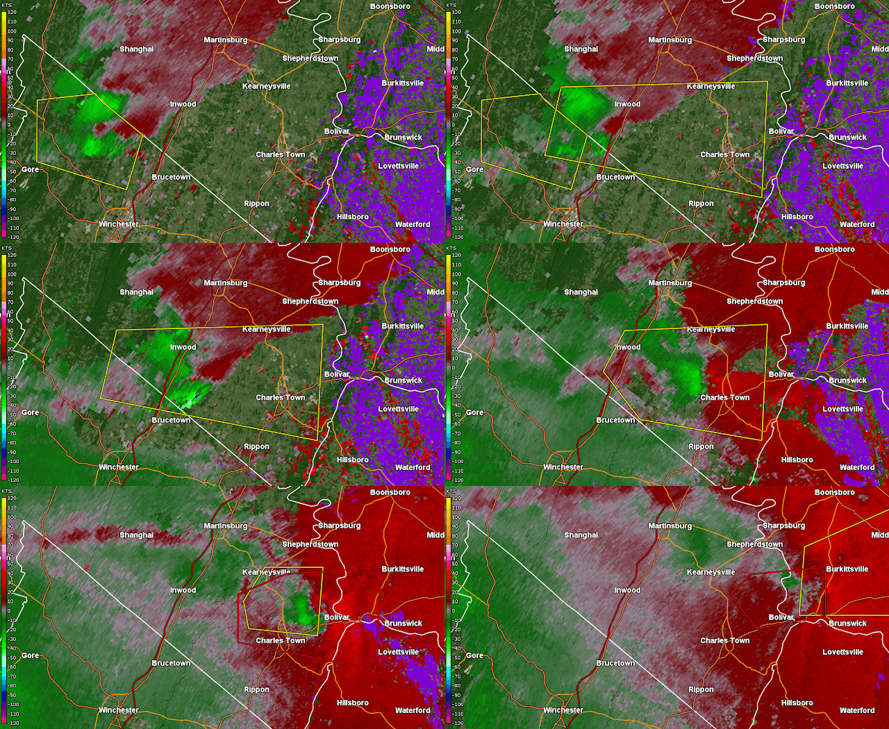
Though the velocity presentation was not all that impressive as the tornado spawned with around 40 knots of gate-to-gate shear, that increased to a peak of 70 knots of gate-to-gate shear by the next radar image taken at 6:32 p.m. at the end of the tornado's life cycle.
Correlation Coefficient Analyzed
A weak dip in CC values that indicates a tornado in an otherwise noisy presentation with the storm's gust front likely picking up small debris out ahead of the storm. This, admittedly, would have been very hard to see live but thankfully other products made the tornado a bit more easier to spot.
Specific Differential Phase Analyzed
No hail reports were received from this storm, but likely some small hail mixed with rain drops on the storm's northern side at its precipitation core.
Normalized Rotation Analyzed
The image on the left shows maximum NROT values at around 0.81 but that maximizes to 1.17 one frame later at 6:32 p.m. just as the tornado's life cycle ends. The summed NROT product easily shows the rotation of this storm and its turn as it begins to exit Jefferson County:
Spectrum Width Analyzed
A generally underutilized tool, spectrum width is a great way to find the tornadic circulation in a store, which you can see above. There is also likely some small objects such as sticks being picked up in the storm's inflow north of the circulation. The summed Spectrum Width product below easily denotes the chaotic nature of the particles within the rotating storm:
Differential Reflectivity Analyzed


